Falls an oasis in Death Valley
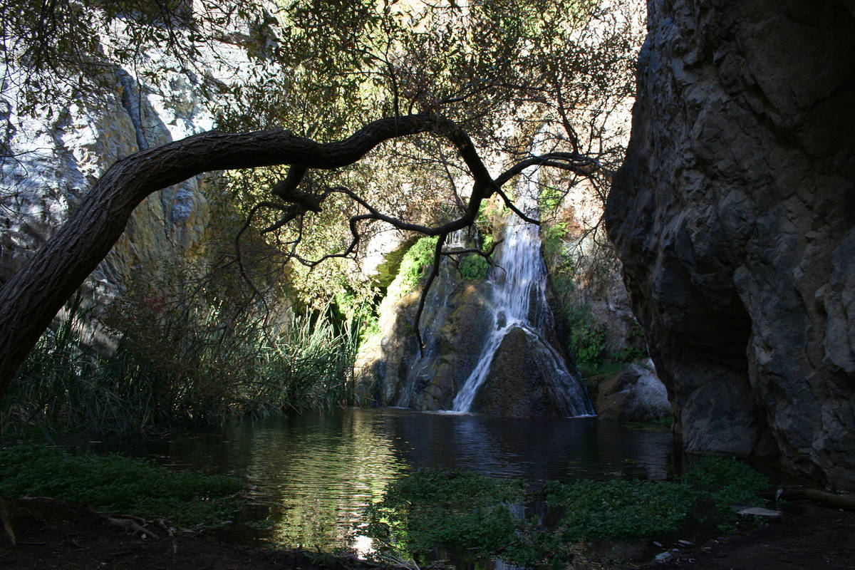
When you think of Death Valley National Park, California, you probably don’t conjure images of a year-round stream and waterfall. But at Darwin Falls you get that and more.
The falls are the most outstanding feature of an oasis in the western area of the park, just a few miles past Panamint Springs Resort. The falls lie in a lush box canyon, and the riparian environment is attractive to birds and people, making this a great place for the latter to observe the former. More than 80 species of birds have been documented here, including California quail, yellow-breasted chat, Western meadowlark, Cooper’s and red-tailed hawks and golden eagles.
This is an easy round-trip hike of 1.6 miles, with an elevation gain of about 150 feet. It’s a good one for most ages and abilities, but in a few stream crossings, feet will get wet and care is needed in navigating slippery rocks.
From the parking area and trailhead, around 2,516 feet elevation, head down the embankment along a clearly delineated path, which puts hikers into Darwin Wash. Darwin Creek has a small flow of water. As hikers start upstream, they will encounter a bland landscape of rabbitbrush and four-wing saltbrush dotted here and there, but soon visitors might see Mojave asters and desert globe mallow, then water-loving plants, including healthy stands of cattails.
The water here originates from China Garden Spring, a few miles outside the park’s western boundary. Pipes, noticeable as hikers travel upstream, send water to Panamint Springs Resort.
Farther along, Darwin Wash narrows and transitions to a canyon, where some small creek crossings are necessary. Visitors should watch where they step as Western and red-spotted toads live in and around the stream.
The area has a healthy habitat, primarily made up of Gooding’s willows. The invasive tamarisk plant rears its ugly head once in a while, but removal programs have been temporarily successful.
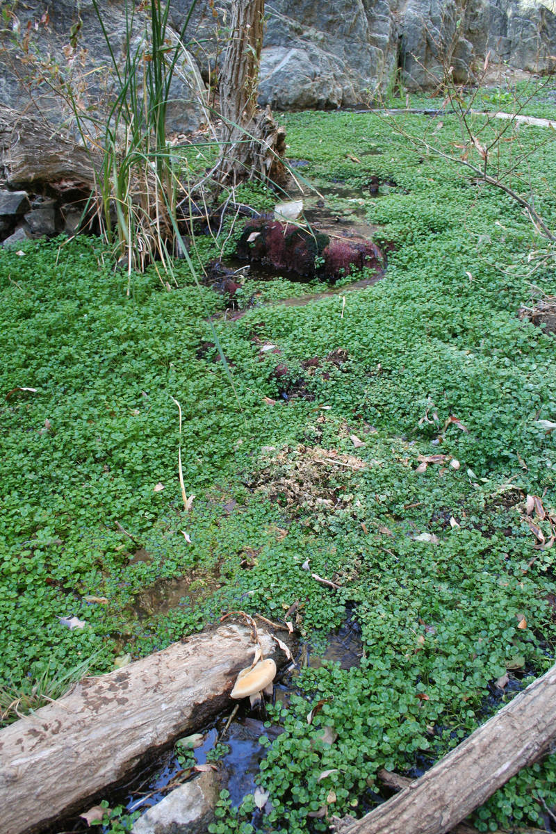
Since there is so much vegetation, and a canopy of branches above, visitors will hear the waterfalls before seeing them. It’s actually only one 20-foot-high waterfall, but it pours over a large boulder and splits off into two sections. Look around for water-loving ferns and watercress growing there. Since this is a fragile water resource, critical for humans and wildlife, no swimming is allowed.
Hikers up for a challenge and who have athletic ability can backtrack 30 yards or so and climb carefully up the steep southeastern canyon wall along a faint path. The small dale above has more cascades and another, larger waterfall. But always check with a park ranger first before making the drive, as there could be closures.
From the hub of Death Valley National Park at Furnace Creek, follow California Route 190 west for about 55 miles to Panamint Springs Resort. Continue about 1 mile farther and go left at the gravel road. Drive 2½ miles, bearing right at the fork, to the metal gate and parking area. The gravel road is usually in good shape and suitable for passenger vehicles. But save this hike for another day if rain threatens, because the canyon is subject to flash flooding.
Many of Deborah Wall’s columns have been compiled into books about hiking in the Southwest. She is also the author of “Great Hikes, a Cerca Country Guide” and a co-author of the book “Access For All, Seeing the Southwest With Limited Mobility.” Wall can be reached at Deborabus@aol.com.
Directions:
From Boulder City take Interstate 11 north to the 215 Beltway. Head west to Interstate 15 and go south to State Route 160. Go 81 miles to Bell Vista Avenue in Pahrump. Continue for about 25 miles into Inyo County to California Route 190 west. Continue 17 miles to the park.


