Rocks mysteriously wander on Death Valley’s Racetrack
If you have a taste for adventure and don’t mind brain-rattling washboard roads, you should head out to Death Valley National Park’s Racetrack, one of the California park’s most famous sights. Because there is danger of being stranded, it’s strictly a trip for the cooler months.
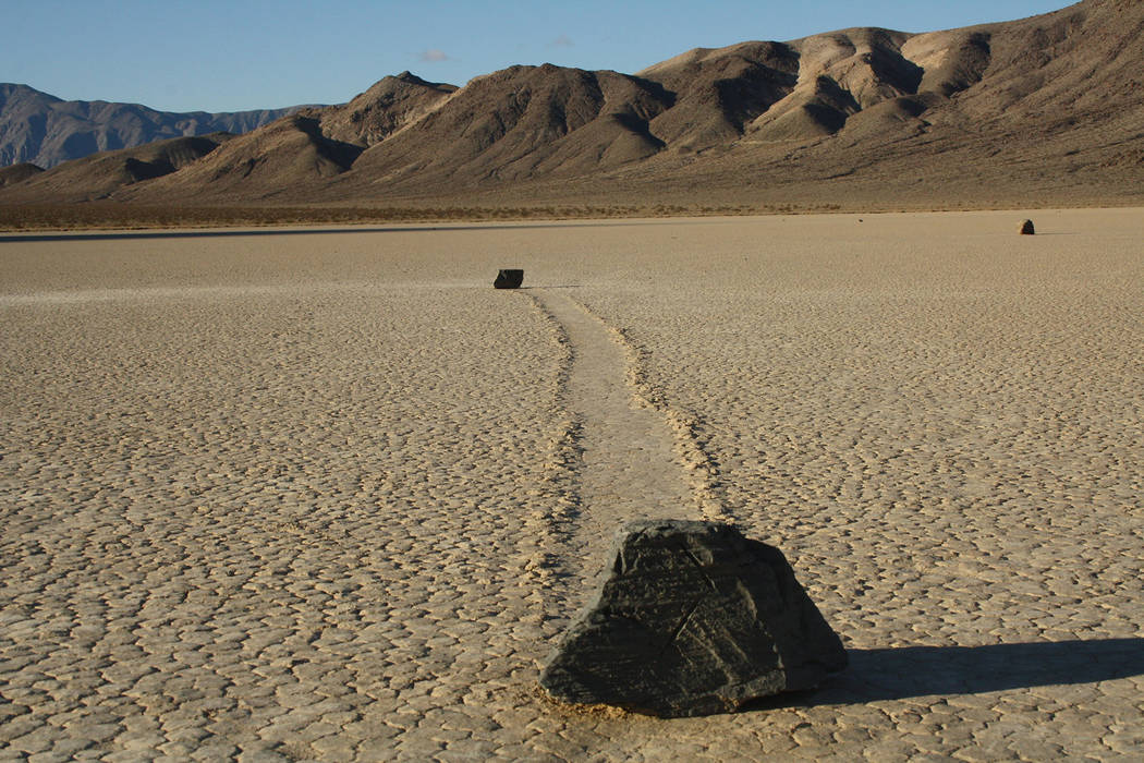
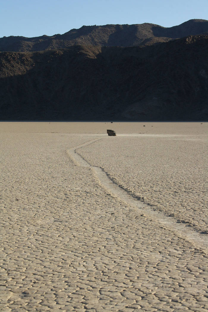
The Racetrack is the roaming room of Death Valley’s mysterious wandering rocks. It’s a playa or dry lake bed, about 3 miles long and 2 miles wide. On its surface, small to large boulders have made deep and long tracks, without help from anyone or anything. The tracks are mostly arc-shaped, but some turn at right angles and other directions, creating geometric patterns.
From the hub of the park, Furnace Creek, you’ll need to drive 56 miles on paved roads then another 27 miles on a rough gravel road that once in awhile is easy but usually an exercise in patience. Once you reach the upper end of the Racetrack playa, stop in the first parking area and walk out to what’s called the Grandstand. This massive natural formation of quartz monzonite and is a great vantage point to see the entire playa.
Back in your vehicle, go a couple of miles to the end of the playa and the parking area there. To see the rocks and their tracks up close, walk out about one-half mile. Never drive on the playa no matter how dry it is, and do not even walk on it if it’s damp or muddy, as either will cause damage that could last for decades.
Until 2014 no one could agree on what caused this natural phenomenon. But then a research group announced findings that probably solved the mystery. With time-lapse photography and a lot of patience they found that when the lake bed is covered with about 3 inches of water and it slightly freezes, it creates a thin sheet of ice. Next, the ice breaks up and the wind come into play, pushing ice floes around the surface of the remaining water. Rocks embedded in the ice floes are dragged along, leaving trails in the mud below, which remain after the ice melts entirely and water dries up.
You must have a high-clearance vehicle, preferably four-wheel drive, with good off-road tires to get to the Racetrack. Be sure to fill the gas tank and have a reliable spare tire and the tools to change it. If you have an extra spare tire bring it along, as it’s common to have two flats on this trip, usually from sidewall damage.
Elevation is 3,718 feet at the Racetrack parking area, so expect temperatures to be about 10 degrees cooler than in the Las Vegas area, and plan your visit accordingly.
Allow a full day to explore the area and drive round trip from the Furnace Creek area of the park.
Always stop at the visitor center before embarking on the trip. You’ll need to get a map and an updated road-and-weather report. If it has been raining or rain threatens, save this trip for another day.
Note, there will be no services once you leave the Furnace Creek area. Bring more food and much more water than you think you will need for the day, in case you unexpectedly have to spend the night, And of course, bring blankets, warm clothes and headlamps. Cellphones are not reliable in this area of the park and don’t be surprised if you are the only traveler out there, especially in the early morning, midweek.
For more detailed information contact the Furnace Creek Visitor Center at 760-786-3200 or visit http://www.nps.gov/deva.
Many of Deborah Wall’s columns have been compiled into books about hiking in the Southwest. She is also the author of “Great Hikes, a Cerca Country Guide” and a co-author of the book “Access For All, Seeing the Southwest With Limited Mobility.” Wall can be reached at Deborabus@aol.com.
Directions
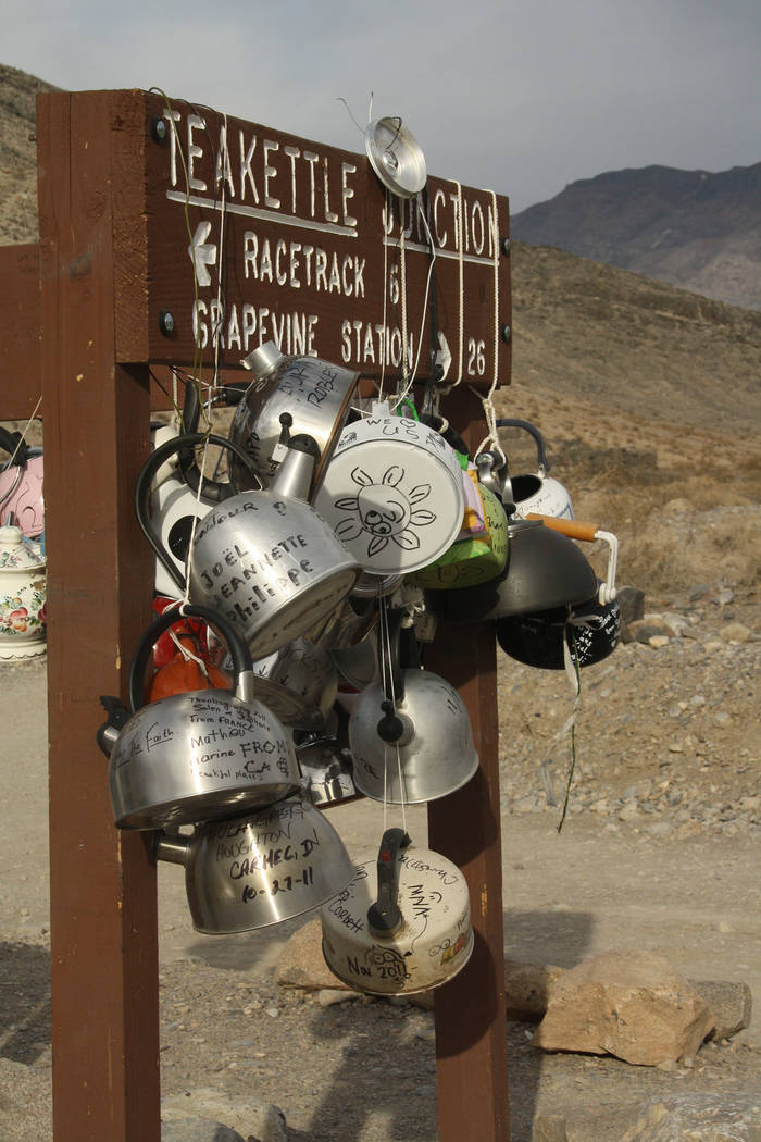
From the Furnace Creek Visitor Center drive north on California Rout 190 for 17 miles and go right onto Scotty's Castle Road. Follow for 33 miles and go left onto Ubehebe Crater Road for 5.7 miles. Continue south on the gravel Racetrack Road for about 27 miles to Racetrack Playa.


