Natural mosaics adorn canyon
Mosaic Canyon in Death Valley National Park, California, is a great hiking choice for all ages and abilities depending on how far you venture. This is a good choice if you have children along or people in your group that can’t travel very far because in this canyon just hiking one quarter of a mile you’ll experience the beauty of the place and be able to admire the natural mosaics.
For those of you who seek more adventure, you can explore farther up the canyon, allowing a couple of hours or so, but you’ll have to do some route finding to skirt natural obstacles such as dryfalls and boulder jams.
From the Stovepipe Wells area of the park it’s only a quarter mile west on California Route 190 to the Mosaic Canyon turnoff, located on your left. The next 2 miles will be driving on a gravel road up through a wide alluvial fan that was formed by years of debris being flushed out of the canyon during flash flooding. Death Valley has hundreds of these and once you know what they look like, you will be sure to see them as you travel around the park.
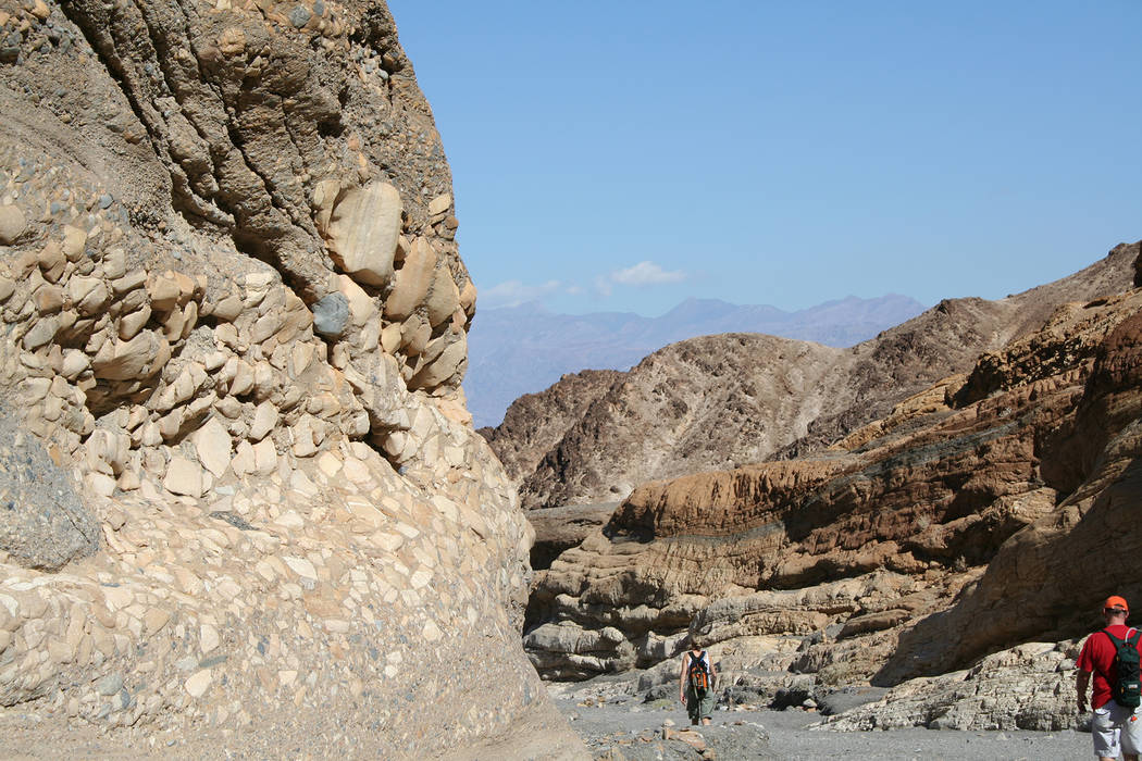
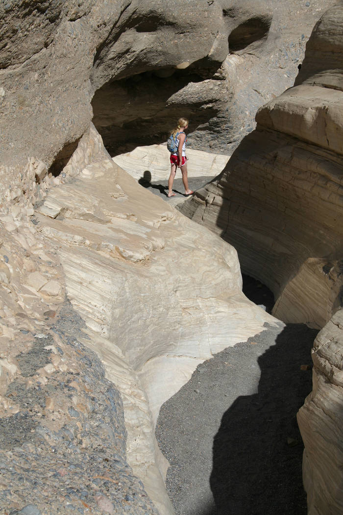
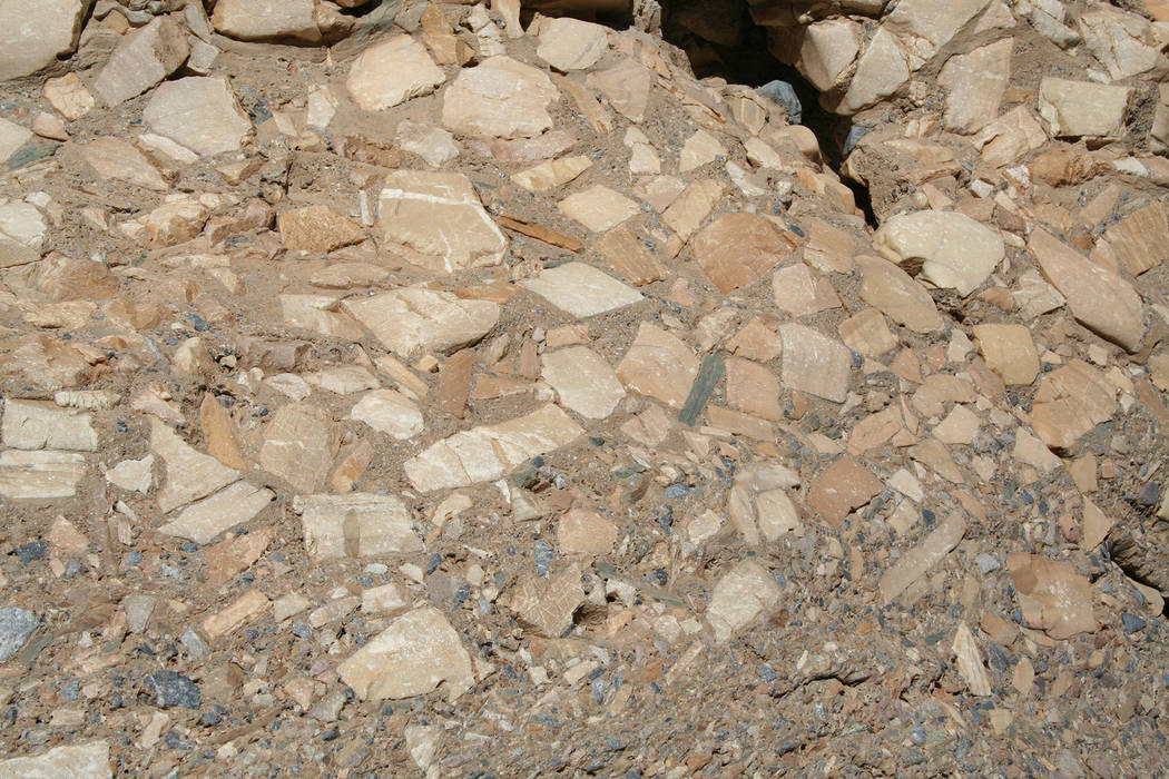
From the trailhead, at about 935 feet, follow the obvious route up the dry stream bed, which soon narrows into a tight little canyon. You will find smooth marble walls of Noonday Dolomite that have been polished by years of debris scouring the walls during flash flooding. Keep an eye out for the Mosaic Canyon Breccia (Italian for fragments), which looks manmade.
After 1.3 miles from the trailhead you will come to a large boulder jam. The easiest way to get around it is usually on the left side, usually marked by a cairn about 40 yards before the boulder jam. Once you’ve conquered this obstacle you’ll find easier passage in another narrow section where interesting breccia chutes and dryfalls can be found.
There will be another challenge ahead, at about two-tenths of a mile, when you come to a dryfall that blocks any easy passage. This can be skirted by backtracking about 150 feet and heading up the right side to a bypass trail up high on the canyon wall. Follow this path and then once again drop down into the main drainage. After exploring, return the way you came.
Mosaic Canyon is the main drainage for 4.3 square miles of Tucki Mountain in the Panamint Mountain Range. If it is raining or rain threatens, save this hike for another day due to flash flooding. Always check on your way to Mosaic at the visitor center or ranger station to get an up-to-date weather forecast. Even if it’s clear skies overhead, flash flooding can be coming down from up above and catch you off guard. There are many places that have no easily reachable safe ground.
For more information, visit https://www.nps.gov/deva.
Many of Deborah Wall’s columns have been compiled into books about hiking in the Southwest. She is also the author of “Great Hikes, a Cerca Country Guide” and a co-author of the book “Access For All, Seeing the Southwest With Limited Mobility.” Wall can be reached at Deborabus@aol.com.
Directions
From the Stove Pipe Wells area in Death Valley National Park drive west on California Route 190 for about one-quarter mile and go left onto the gravel Mosaic Canyon Road. Drive 2.2 miles to parking area and trailhead.


