National park home to thousands of Joshua trees
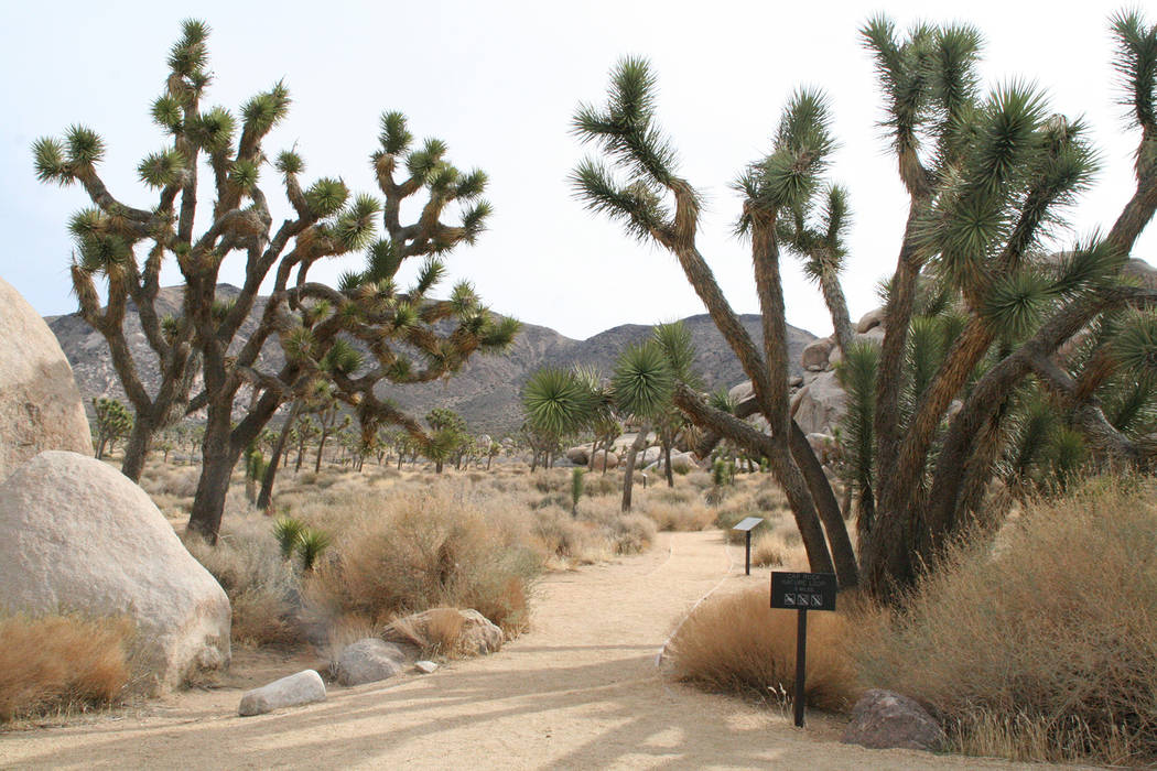
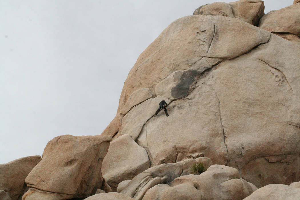
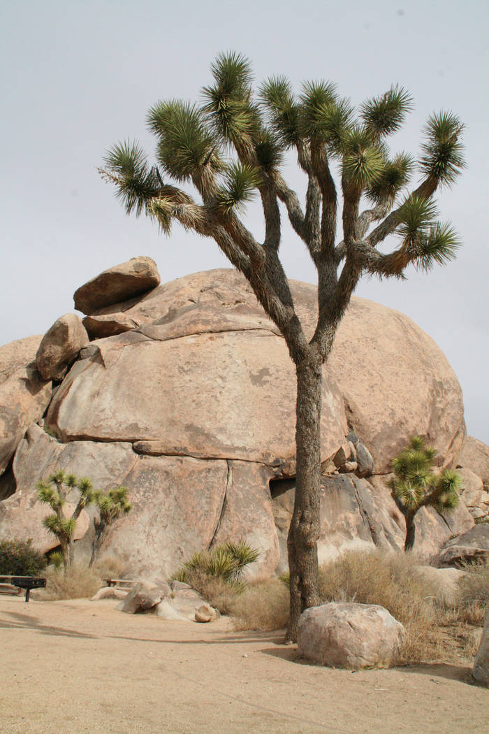
Joshua Tree National Park, located just outside of Twentynine Palms, California, is named after its signature plant species. It is also home to thousands of rock climbing routes, nearly 200 miles of hiking trails and five desert palm oases.
The park encompasses almost 800,000 acres with elevations ranging from 536 feet to 5,814 feet. In the western area of the park, lying in the Mojave Desert, the Joshua tree is the dominant plant. But the eastern part of the park lies in the Sonoran desert, with a corresponding difference in vegetation. There you will mostly find creosote, palo verde, ocotillo and cholla cactus.
Perhaps the most interesting places in the park are the native palm oases. In all of North America there are only 158 fan palm oases, and five of them are here at the park. These oases are home to Washingtonia filifera, the only palm native to western North America. They can only grow where there is a constant supply of water, such as here, where underground water is available from earthquake faults and fractures. These palms typically live 80-90 years, and some grow to 75 feet tall.
For people setting out from Southern Nevada, the closest one to visit is the Oasis of Mara. Starting behind the Oasis Visitor Center, there is a paved one-half-mile loop trail around the fan palms.
Also on this near side of the park is 49 Palm Oasis, about a 6-mile drive from the visitor center. To see that one, you’ll need to hike about three miles round trip; this typically takes a couple of hours.
The other three oases, all sharing the same trailhead, lie in the southern region of the park, about a one-hour drive south from the Oasis Visitor Center and about 1 mile from the Cottonwood Visitor Center.
The first one is the Cottonwood Spring Oasis, where visitors only have to hike a short five minutes from the parking area. The second one is the Lost Palms Oasis, where the trail takes you 3½ miles farther and typically takes about five hours round trip. The farthest one is the Munsen Canyon Oasis, which is a few miles past Lost Palms Oasis. I would not recommend going there as it is an extremely strenuous trek requiring a lot of route finding and rock scrambling.
Services in the park are limited, as is cellphone signal; bring water, food, hiking gear and warm clothes for chilly evenings and mornings.
Because there is much to do and some park features are far apart, it’s best to plan for a one-night stay or longer visit.
There are nine developed campgrounds in the park; some take reservations and others are on a first-come, first-served basis. Book a site online at http://www.recreation.gov or by calling 877-444-6777.
There are many lodging choices in area towns such as Twentynine Palms and Joshua Tree, California. For more information, visit http://www.visit29.org.
Many of Deborah Wall’s columns have been compiled into books about hiking in the Southwest. She is also the author of “Great Hikes, a Cerca Country Guide” and a co-author of the book “Access For All, Seeing the Southwest With Limited Mobility.” Wall can be reached at Deborabus@aol.com.
Directions
From Boulder City take U.S. Highway 95 south toward Searchlight/Needles. Drive 79 miles and turn west onto Interstate 40. Drive 17 miles to the Essex exit, where you will take Route 66 west (National Trails Highway). Drive 46.6 miles and go left onto Amboy Road. Drive 46 more miles. Turn left onto Adobe Road for 2 miles to California Route 62, Twentynine Palms Highway. Turn left and drive one-half mile to the Oasis Visitor Center on your right.


