Canyon home to many petroglyphs
Grapevine Canyon is one of the finest petroglyph sites in Southern Nevada. It is also one of the easiest to visit on a day trip, located in the southern part of Lake Mead National Recreation Area, near Laughlin, and approachable by roads fit for passenger cars. The short hike to the rock art itself is easy.
The trailhead is at an elevation of 2,385 feet so you can expect temperatures to be pretty much the same as in Las Vegas. Therefore, this is an especially good excursion for a winter morning, but hikers are exposed to the sun and should wear hats and sunglasses and bring all their own supplies and water.
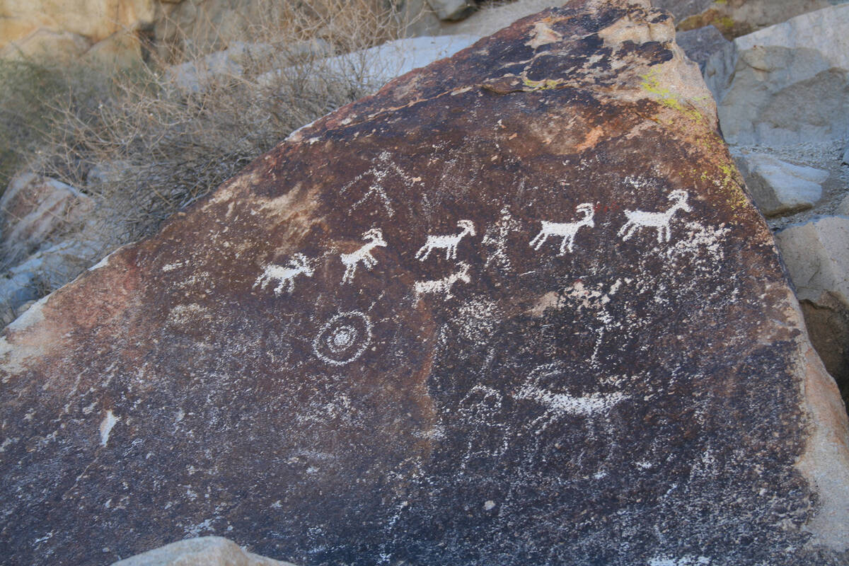
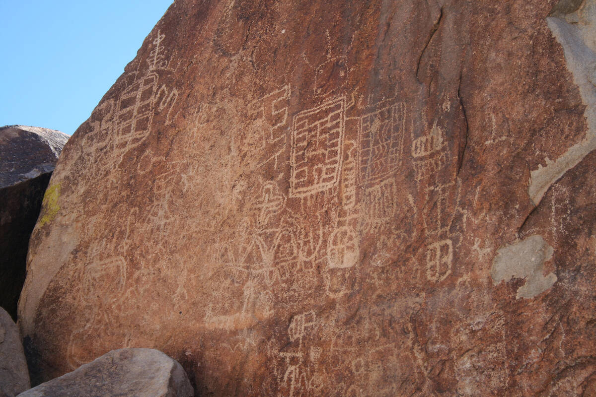
From the parking area, walk up the gravel path about one-quarter of a mile along the sandy bench toward the obvious mouth of Grapevine Canyon. On your right will be Grapevine Wash, usually dry except after a rainstorm. When you get to the canyon opening start looking on the boulders and cliffs and you will see dozens of petroglyphs. They are more heavily concentrated on the right side.
Petroglyphs were made by prehistoric people who hammered or scraped away the natural desert varnish, exposing the lighter color beneath, and creating a long-lasting design. You will see many different designs here, including abstract symbols whose meanings remain mysteries, and depictions of wildlife such as bighorn sheep and lizards. Native Americans spent time in this area by A.D. 1100; some of the rock art here is believed to be more than 800 years old and some as recent as 150 years.
As the canyon narrows, the petroglyphs are not as concentrated. After about 30 yards from the mouth of the canyon easy progress is blocked by large boulders and a dryfall. This marks the end of the hike for most people, especially those with small children, but adults with some extra energy and rock-scrambling skills can continue up and over. I have found the right side to be easier but use caution, as it is steep and the granite can be slippery, especially on the return.
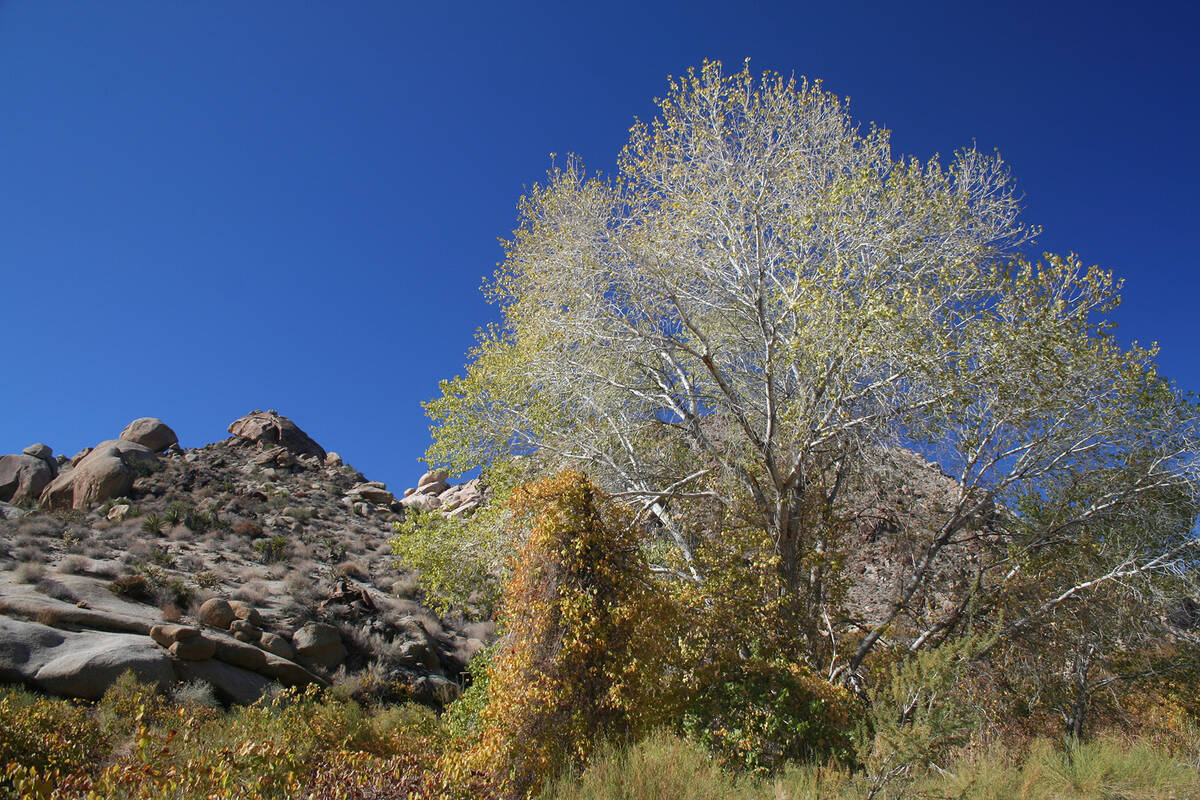
Once over the huge boulders you can drop back down into the drainage of the hanging canyon, above the dryfall. There are not many petroglyphs in this section but the scenery is pretty, although there are areas that are choked with high concentrations of canyon grapes and there is often a small creek with running water. Cottonwood and willows grow, and even cattails and rushes in spots.
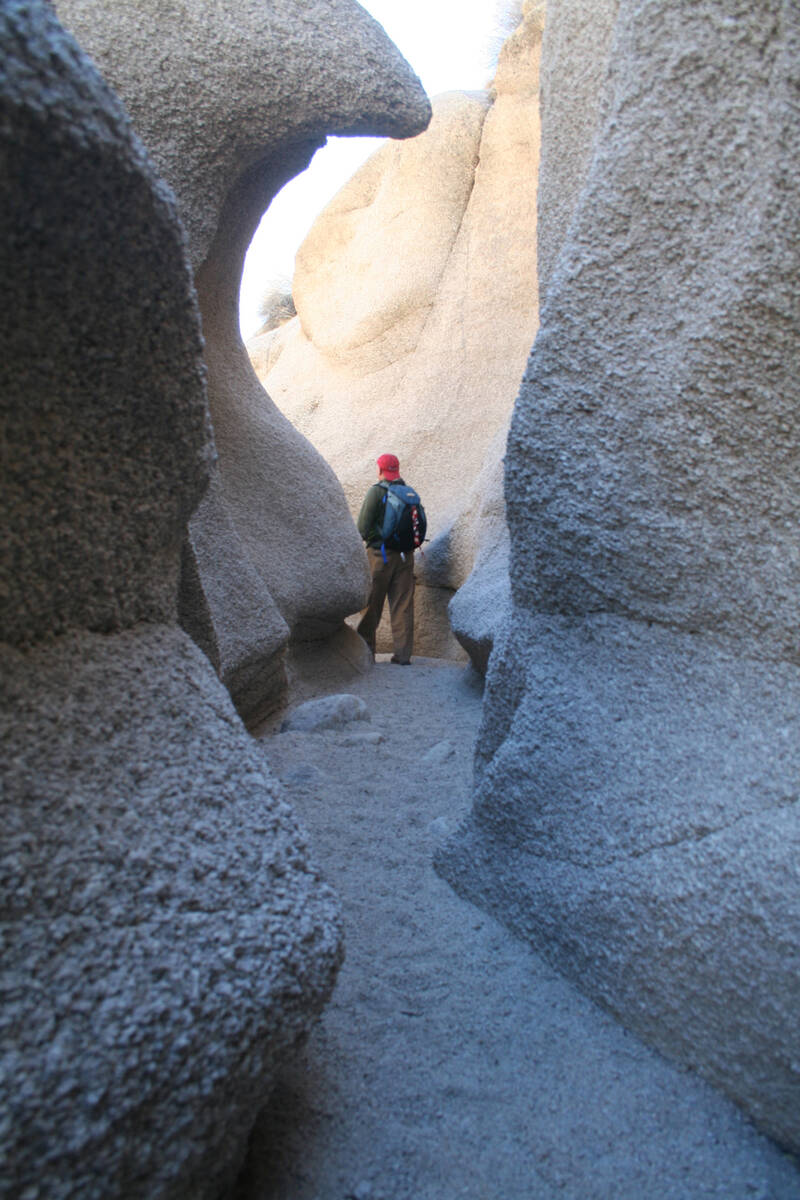
To continue upstream you will have to cross the creek occasionally. About one mile from the mouth of Grapevine Canyon you will find a narrow, yet low wall slot canyon worth walking through until it gets too narrow to continue. This is a good turnaround point.
Petroglyph sites are of religious significance to Native Americans and irreplaceable scientific and cultural resources, deserving care and preservation. Never walk on, touch or otherwise disturb any of the rocks or panels. Just the small amount of oils on our skin can easily damage this fragile rock art. To avoid the disrespect and danger of climbing the rocks for a closer look at the designs, bring along binoculars.
Just north of this canyon is towering, granite-covered Spirit Mountain, or Avi Kwa’ Ame, at 5,639 feet the highest peak in the Newberry Mountains. It is said to be the spiritual birthplace of the Mojave People and is important in the lore of all 12 Yuman-speaking people of the lower Colorado region. It is considered sacred ground and perhaps one reason why there are so many petroglyphs in Grapevine Canyon. The mountain itself and its immediate surroundings are on the National Register of Historic Places, and a movement is afoot to have the Biden administration place a larger surrounding region under federal protection as a national monument.
Many of Deborah Wall’s columns have been compiled into books about hiking in the Southwest. She is also the author of “Great Hikes, a Cerca Country Guide” and a co-author of the book “Access For All, Seeing the Southwest With Limited Mobility.” Wall can be reached at Deborabus@aol.com.
Directions:
Go south on U.S. Highway 95 toward Searchlight. Drive 53 miles and go left onto State Highway 163, toward Laughlin, and drive 12.9 miles. Go left onto Christmas Tree Pass Road and follow this well-maintained gravel road for 1.8 miles, then go left for parking area.


