Higher elevations’ cool temperatures appeal to summer travelers
Summer travel is in full swing in the warm Southwest, so we need to turn our thoughts to higher elevations in search of agreeably cooler temperatures. A great destination for that purpose is the Owens Valley town of Bishop, California, at a cool 4,200 feet, roughly twice the elevation of Las Vegas. It’s not only a super place to spend a few days in the at the foot of the Eastern Sierra but also can serve as a wonderful base camp for visiting Mammoth Lakes, Lee Vining, Mono Lake and Yosemite National Park.
There is plenty to do in and around Bishop itself. Visitors from all over the world come to hike, climb and mountain bike, do some world-class fishing or start a multiday guided pack trip by horse or mule into the High Sierra. Even if you are not seeking that much adventure, just exploring the multitude of scenic back roads is a treat in itself.
Schat’s Bakery, opened in 1938, is the place to start any morning in Bishop. It is best known for its Original Sheepherder’s Bread, an item first served to the Basque sheepherders who grazed their flocks in the surrounding area. This bread is sort of a sourdough type in hand-shaped loafs. The bakery also serves a conventional breakfast and even has fresh-squeezed orange juice, and there are exceptionally well-made tarts and other pastries. This bakery is so popular they run through about 65,000 pounds of wheat flour a month.
One of the most scenic roads in the Eastern Sierra, Bishop Creek Road, starts in Bishop. It travels west out of town and travels about 19 miles, first through high desert sage and ranch land, at around 4,200 feet, and climbing up to a mountainous landscape of pine trees, aspen groves and alpine lakes at nearly 10,000 feet in elevation.
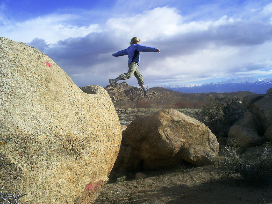
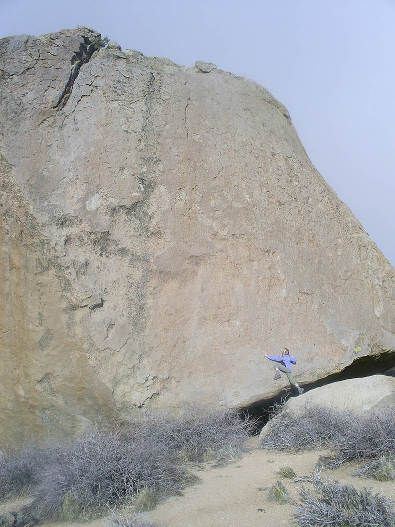
Even if you don’t drive the entire road, be sure to take a right on the well-maintained gravel road that leads to the Buttermilks. These are granite rock formations and are very famous, not only for their beauty but also for their bouldering opportunities. Bouldering involves focusing on a single boulder or small area where rock climbers solve the “problems” of how to best climb some short route. No ropes are used, just lots of powdered chalk to keep the hands dry for gripping. All smart people involved in this sport bring along a cushiony “crash pad” to land on if they fall.
Along the main road into the Buttermilks, on your right, you will see lush foliage that grows along McGee Creek. This riparian setting is one of the best places in the Eastern Sierra to enjoy the sights and sounds of songbirds that live and breed here. Some that you might see or hear are red-breasted sapsuckers, yellow warblers, black-chinned hummingbirds and blackheaded grosbeaks.
Returning to Bishop Creek Road and heading into the high country, you will find first-class trails for day hiking or backpacking into the high country. Up here are many alpine lakes for that famous fishing and some of California’s finest mountain views.
But if fishing is your fancy, you don’t even need to venture into the high country, for there are rivers, lakes and creeks in the Owens Valley itself. Fly fishing is most popular in this region, although some fishermen use lures or bait. Best bets here are rainbow and wild brown trout, but there are also bass, carp, perch and bluegill.
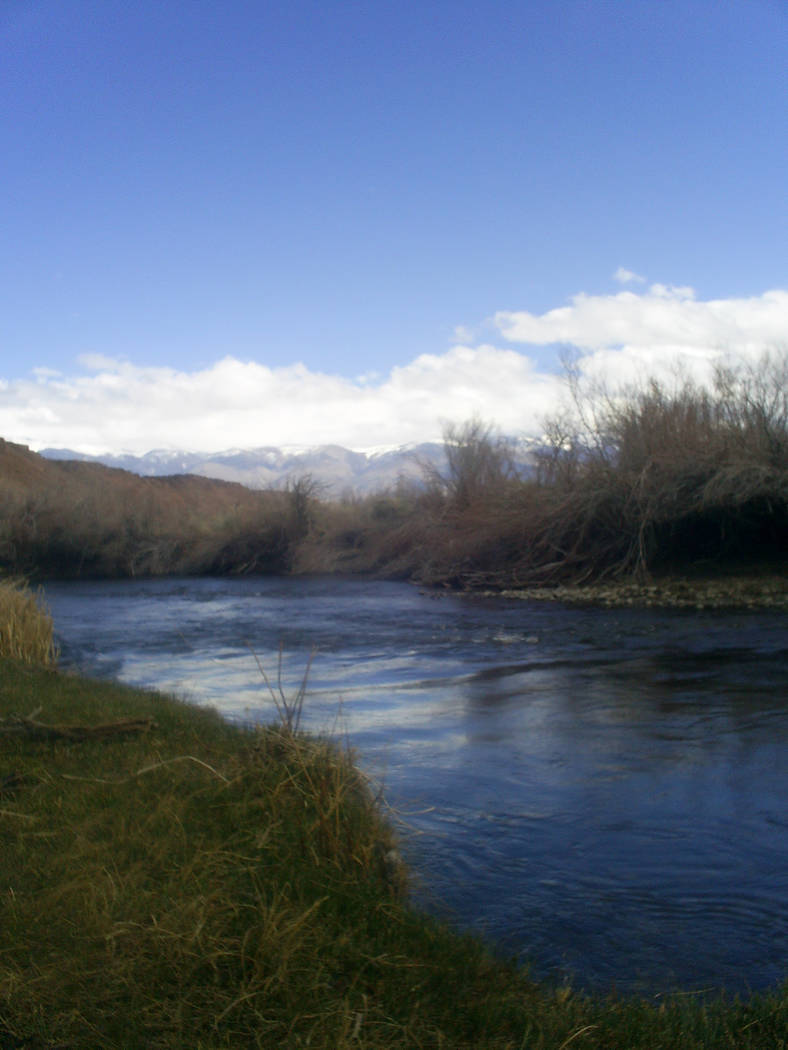
A fantastic area to fish is in the valley along Chalk Bluff Road, which runs between the lower Owens River and the obvious volcanic cliffs to the north. On this road the river serpentines about 4.4 miles. It’s a catch-and-release area, which means you must use barbless hooks and artificial lures. Laws change regularly, so before wetting your line, inquire at one of the fishing and tackle stores in Bishop when you get your fishing license and get updated information.
Though a small town, Bishop offers full services including lodging, food, gas and a hospital. For more information including a calendar of local events, contact the Bishop Chamber of Commerce and Visitors Bureau, 690 N. Main St., by calling 760-873-8405 or visiting www.bishopvisitor.com.
Reservations are always advisable in such an appealing location and a must during special events such as the California High School Rodeo finals in mid-June.
Many of Deborah Wall’s columns have been compiled into books about hiking in the Southwest. She is also the author of “Great Hikes, a Cerca Country Guide” and a co-author of the book “Access For All, Seeing the Southwest With Limited Mobility.” Wall can be reached at Deborabus@aol.com.
Directions
From Boulder City, take U.S. Highway 95 north for about 135 miles to Beatty. Turn right and continue on U.S. 95 north for 52 miles. Turn left onto Nevada State Route 266 and drive 45 miles. Turn left on California State Route 168 for 38 miles. Turn right onto U.S. Route 395 north and follow for about 15 miles to Bishop.
Directions to Buttermilks
From Bishop, starting at the corner of U.S. Route 395 and California State Route 168 (Main and Line streets) go west for 7.3 miles and go right onto Buttermilk Road. Follow this well-graded gravel road for a few miles to the heart of the Buttermilks.


