Fiery sandstone warms winter days
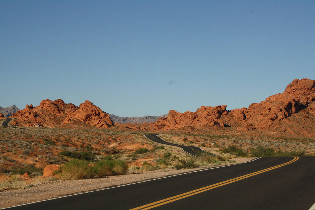
Valley of Fire State Park, a land of fiery red sandstone, is an excellent day trip from Boulder City, only an hour and a half drive but with plenty to see, places to hike or just relax with a picnic.
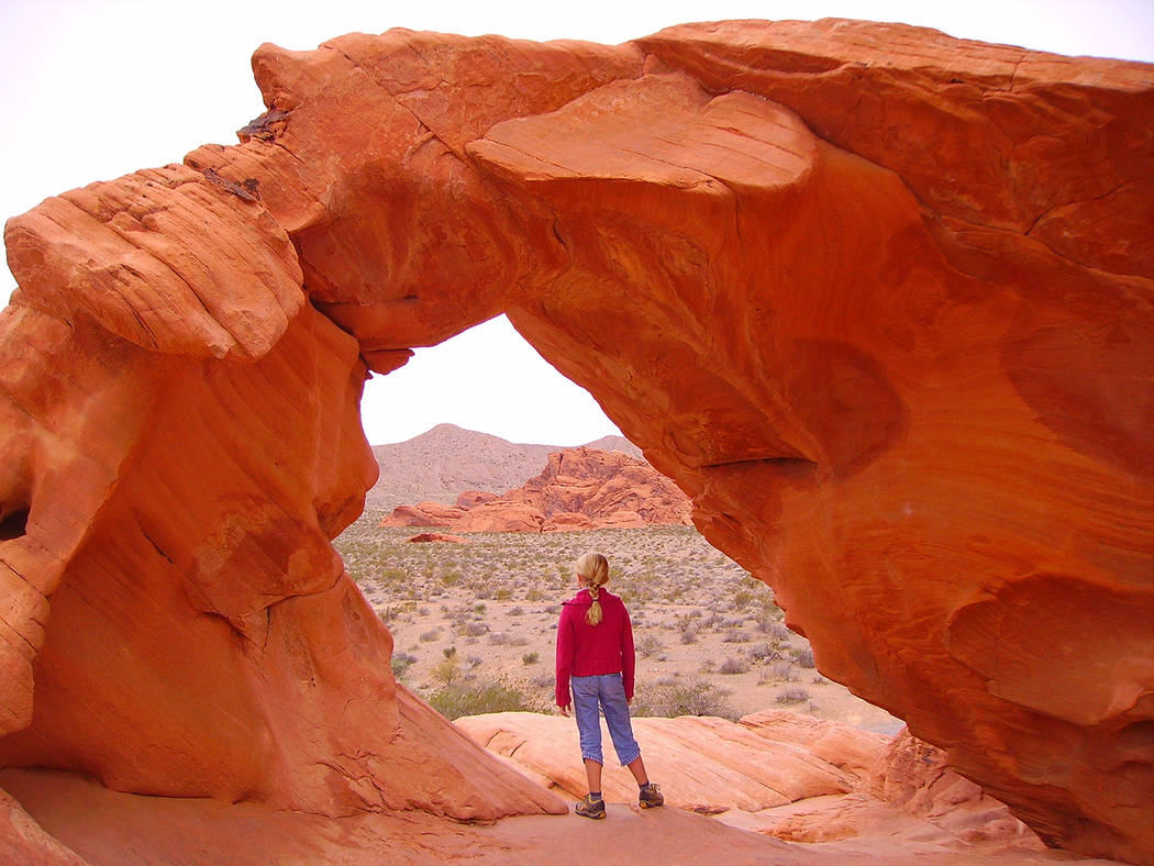
It’s just about perfect for entertaining visitors from the East, for they can see exotic and spectacular scenery, rivaling that in a John Ford Western movie, within very tight limits of time and budget. And if the party happens to include any small children or adults with limited mobility, they can see much of it without walking very far.
Winter is the best time to go, for the weather here is about the same or a little warmer than in the Las Vegas area, and most of the landscape is exposed to direct sun.
The park encompasses about 42,000 acres, making it Nevada’s largest state park. It was established in 1935. The best place to start any visit is at the visitor center. Here you can pick up any maps you might want and take a look around at the interpretive displays on the geology, ecology and history of the park. It is interesting to note that the human history in this area dates back to 300 B.C. with the Basket Maker people.
There are a few short trails that are a must to do if you have the time. The first and most popular is Mouse’s Tank, starting only 1 mile from the visitor center. It is less than 1 mile round-trip and takes you up a sandy wash to “The Tank” itself, passing by hundreds of American Indian petroglyphs that were pecked into the sandstone walls surrounding the wash.
The tank is a deep tinaja (water hole) sometimes with plenty of water and sometimes bone dry. It is named for Mouse, a fugitive Paiute who evaded the law for some time in the 1890s. It is believed he was able to do so by utilizing the seasonal water in the tank.
If you follow the main road about 5½ miles past the Mouse’s Tank trailhead to the end of the road, another favorite of mine is the White Domes Loop Trail. This is a 1.25-mile loop that has wonderful formations, including a short but nice slot canyon and evidence of the film industry shooting here many decades ago.
Don’t be discouraged by the beginning of the loop. It’s soft sand and therefore difficult walking there, but it changes dramatically after five or 10 minutes, as you descend into a large flat area. This is where you will find the remains of a movie set that was constructed in 1965 for “The Professionals,” a popular film of the times, starring Burt Lancaster, Lee Marvin and Jack Palance.
From here head south along the trail and then go right in the large obvious wash and opening to the slot canyon. Walk on through and then head up the small rise to continue the trail back to the trailhead.
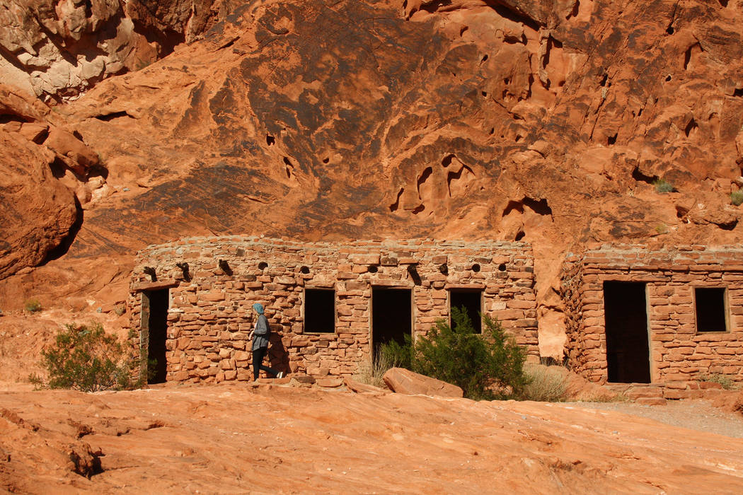
If you are looking for a fine picnic spot, or just a nice place to explore if your group is short on time, head for The Cabins. These are located off to the left of the main road that heads east from the visitor center as if you are going toward Lake Mead National Recreation Area. The cabins were built by the federal Civilian Conservation Corps — the famed CCC — right after the park was established. The CCC boys made them from durable native sandstone, so they have survived pretty well. The cabins were originally accommodations for travelers, but now are only to peek inside and look around. Nearby are some petroglyphs to see, especially directly behind the cabins, as well as interesting sandstone formations.
The park has five official picnic areas, all with shaded areas and restrooms. Besides The Cabins, these are Atlatl Rock, Mouse’s Tank Trailhead, Seven Sisters and White Domes. To make your visit the best it can be, arrive early so you can enjoy the park at a more leisurely pace without any crowds, and without running out of time these short winter days. A day-use entry fee is $10. The visitor center is open daily from 8:30 a.m. to 4:30 p.m.
For more information call 702-397-2088 or visit http://parks.nv.gov/parks/valley-of-fire.
Many of Deborah Wall’s columns have been compiled into books about hiking in the Southwest. She is also the author of “Great Hikes, a Cerca Country Guide” and a co-author of the book “Access For All, Seeing the Southwest With Limited Mobility.” Wall can be reached at Deborabus@aol.com.
Directions
From Boulder City, take U.S. Highway 93/95 north for 23 miles and merge onto Interstate 15 north. Continue for about 30 miles to exit 75. Drive east on U.S. Highway 169 for 18 miles. Go left to the visitor center parking area.


