‘A nice sign’: Big Rockies snowpack may boost Lake Mead
When March began the mountains that feed the Colorado River already had seen more snow this winter than they normally would through an entire snow season.
And with some snow in the forecast, there’s still more time for that snowpack to grow.
“For the West in general, this year has been really great,” said Paul Miller, service coordination hydrologist with the National Weather Service’s Colorado Basin River Forecast Center in Salt Lake City. “This is probably the wettest year we’ve had since 2011.”
The snowpack in the Upper Colorado River Basin was at 133 percent of the 30-year historical average as of Feb. 27, and sits at 101 percent of what the basin has received on average through an entire season.
The basin’s snowpack typically peaks around the first week of April and then begins to melt and flow downstream into Lake Powell on the Utah-Arizona border through July.
“For us to hit it this early in the season is a nice, beneficial sign for the region as a whole,” Miller said.
February started off fairly dry for the region, but a series of storms that came up from the southern Pacific Ocean near the end of the month brought significant moisture to the basin. And forecasts are calling for snow showers nearly every day through March 21, which should only help to pad those snowpack numbers.
In recent years, hotter temperatures and drier soils have led to worsening runoff efficiency in the basin, meaning that even average snow years still led to below-average amounts of water flowing into the river.
But the region saw storms in the late fall that helped improve those soils and helped set up a better runoff scenario for this year’s snow, Miller said. The soils are still drier than normal in several parts of the basin, but Miller said he is still optimistic that the basin should see an above-average amount of water flowing into the river this spring and summer.
“It’s still a possibility, but I think us getting to the point of seeing below-normal runoff is becoming less and less of a possibility,” Miller said.
In the latest projections released in February, forecasters said they expect Lake Powell to receive about 117 percent of its average inflows this year. If that holds true, it would mark just the sixth time since 2011 that inflows into Lake Powell were above average. And three of those were just barely above that mark, he added.
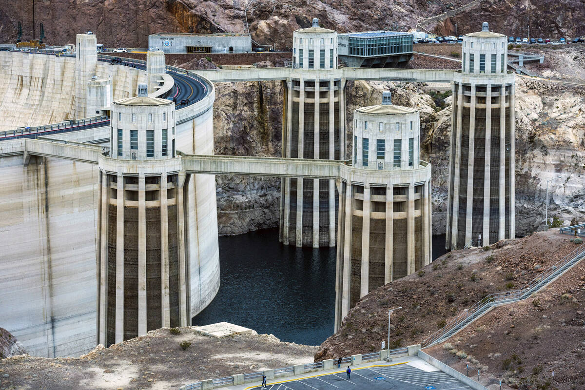
The hefty snow season won’t be nearly enough to end the two-decades-long drought or refill the river system that some 40 million Americans rely upon. But it looks to be enough to at least somewhat stem the bleeding levels at Lake Mead and Lake Powell, where drought and chronic overuse have sent the two reservoirs to historic low marks in recent months.
The Bureau of Reclamation’s most recent projections show Lake Mead dropping to 1,033.4 feet in elevation by the end of 2023, about 14 feet lower than the reservoir’s current level. That projection is about 12 feet higher than the 2023 end-of-year mark in the bureau’s forecast from December.
Officials from the seven states that rely on the Colorado for water are still working to come to an agreement over how to divvy up cuts that the federal government has said are needed to keep the reservoirs from falling to points that would threaten hydropower generation and water delivery capabilities in the coming years.
So far, six states — Nevada, Arizona, Colorado, Utah, New Mexico and Wyoming — have proposed a set of reductions that are aimed at “sharing the pain” between the lower basin states. California has issued its own proposal, one that adheres to the “law of the river” by protecting the state’s senior water rights, and calls on Arizona, and to a lesser extent Nevada, to shoulder the brunt of those cuts.
The bureau is expected to release a draft of its analysis of the reduction proposals in early April.
Contact Colton Lochhead at clochhead@reviewjournal.com. Follow @ColtonLochhead on Twitter.


